
Patna: A five-day India-Sri Lanka workshop opened at IIT Patna on Tuesday, bringing together researchers and policymakers to explore how geospatial technology can help cities monitor construction, map flood-prone areas and detect land subsidence.Sri Lankan High Commissioner to India Mahishini Colonne, who inaugurated the workshop, traced ties between the two countries to Emperor Ashoka’s reign and the cultural and spiritual exchanges of the period. She said conventional planning methods were struggling to keep pace with urban expansion and stressed the need for technology to monitor infrastructure growth and protect the environment.Bihar additional chief secretary for planning and development N Vijaya Lakshmi said officials once depended on paper records for land surveys and urban planning. Digital mapping now helps administrators track land-use changes and manage resources more accurately.IIT Patna dean (administration) Awalendra Kumar Thakur said educational exchanges had sustained ties between the countries for more than 2,000 years.Prof Lasantha Manawudu, part of a nine-member University of Colombo delegation, said the workshop could pave the way for joint research on flooding, land subsidence and sustainable urban growth.Running till Nov 21, the workshop includes hands-on training in LiDAR, ArcGIS and Google Earth Engine. It is being convened by Akshar Tripathi of the department of civil and environmental engineering and Papia Raj of the department of humanities and social sciences. Vishal Deshpande of IIT Patna and Ravindra G Jaybhaye of Savitribai Phule Pune University were the opening-day speakers.You Can Also Check: Gold Rate in Patna | Silver Rate in Patna | Bank Holidays in Patna | Public Holidays in Patna | Patna AQI | Weather in Patna | Petrol Price in Patna | Diesel Price in Patna | CNG Price in Patna | LPG Price in PatnaStay updated with the latest Patna news. Download the TOI App.
SRI LANKA NEWS
Geospatial technology takes centre stage at IIT Patna event
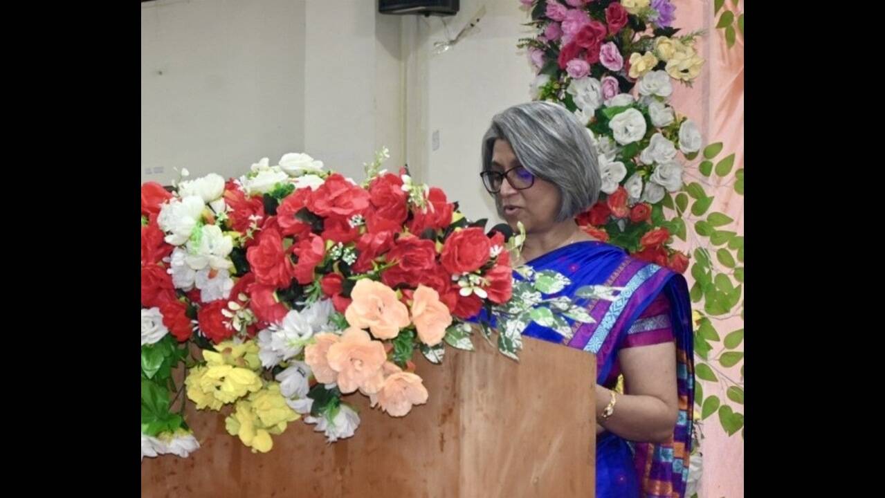
IIT Patna hosts five-day India–Sri Lanka workshop on climate-resilient cities, focusing on geospatial tools like LiDAR, ArcGIS and Google Earth Engine.


Loading comments…